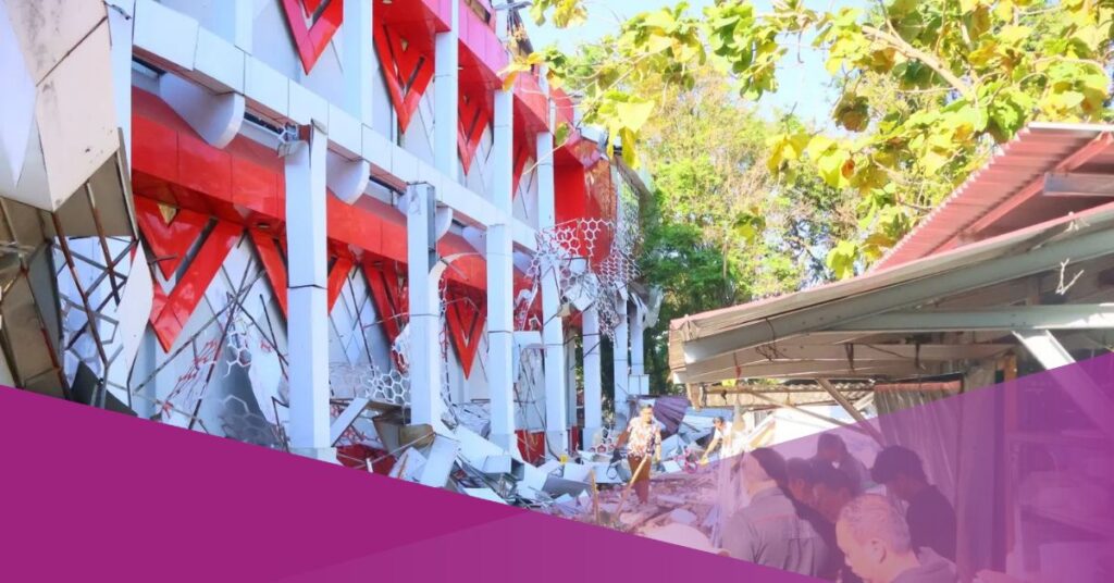
Super Typhoon Ragasa has displaced thousands of residents in the northern Philippines and left at least three people dead, according to local officials.
The Philippine Meteorological Agency reported that Ragasa had undergone rapid intensification before making landfall in the Batanes or Babuyan Islands on Tuesday, 23 September. While these islands are sparsely populated, authorities stressed that the potential for disaster remained high.
Philippine Interior Minister Jonvic Remulla emphasised that early evacuation measures were critical to safeguard lives. “Evacuation is essential. These steps must be taken in advance to reduce the risk,” he stated.
Neighbouring Taiwan also issued evacuation orders on Sunday, 21 September, with nearly 300 people evacuated from Hualien County in the eastern region. Officials noted that the number could change depending on Ragasa’s trajectory over the following 24 hours.
The country’s weather service warned of “very heavy rain” affecting the eastern part of Taiwan, adding, “The radius of this storm is quite extensive, approximately 320 kilometres. Although the centre of the typhoon remains some distance away, its strong wind field and outer circulation have already begun to affect parts of Taiwan.”
In Hong Kong, officials compared the threat posed by Ragasa to some of the most destructive storms in the territory’s history.
Eric Chan, Hong Kong’s second-in-command, said on Monday, 22 September, “Typhoon Ragasa will pose a serious threat to Hong Kong, potentially reaching the level of damage experienced by Hato in 2017 and Mangkhut in 2018.”
By early Tuesday, 23 September, Hong Kong’s weather service reported that Ragasa was producing maximum sustained winds of 220 kilometres per hour as it crossed the South China Sea.
Aviation authorities confirmed that Hong Kong International Airport would remain open but warned of “significant disruption to flight operations” from Tuesday evening until the following day, with more than 500 Cathay Pacific flights expected to be cancelled.
Regional Agencies Issue Alerts
Indonesia’s Meteorology, Climatology, and Geophysics Agency (BMKG) has stated that Typhoon Ragasa will indirectly affect parts of Indonesia.
In its Weekly Weather Outlook for 23–29 September 2025, the agency noted, “Tropical Ragasa is predicted to be in the Philippines with maximum wind speeds of 110 knots and a pressure of 905 hPa. Both Ragasa and the cyclone seed 92W form a convergence and confluence area that will trigger moderate to heavy rainfall in Kalimantan, North Maluku, and Papua.”
BMKG also reported that cyclone seed 92W is likely to remain north of Papua, with maximum wind speeds of 20 knots and a pressure of 1004 hPa, but assessed the probability of it intensifying into a tropical cyclone as low.
BMKG Outlines Indirect Impact on Indonesia
Andri Ramdhani, Director of Public Meteorology at BMKG, added that wider atmospheric factors would further influence Indonesia’s weather. “Entering the third decade of September, some regions will experience a transitional period characterised by heavy rain accompanied by lightning and strong winds of short duration on a local scale,” he explained, as reported by Kompas.
BMKG warned of increased rainfall across several provinces, including Aceh, North Sumatra, West Sumatra, Riau, South Sumatra, Bengkulu, West Java, Central Java, and East Java, as well as Kalimantan, Sulawesi, Maluku, and Papua.
The agency has issued alerts for heavy to very heavy rainfall in Central Papua and Highland Papua, while strong winds are expected in East Java, East Nusa Tenggara, and South Sulawesi.
According to Andri, the presence of cyclone seeds and tropical cyclones in northern waters frequently influences wind circulation patterns.
“This influences wind patterns around the cyclone seedlings, so that circulation in the form of tropical cyclone seedlings and tropical cyclones often grows and passes through,” he explained.


