Russian Earthquake – A powerful earthquake measuring 8.7 on the Richter scale struck off the eastern coast of Russia on Wednesday, 30 July 2025, prompting tsunami alerts across parts of the Pacific.
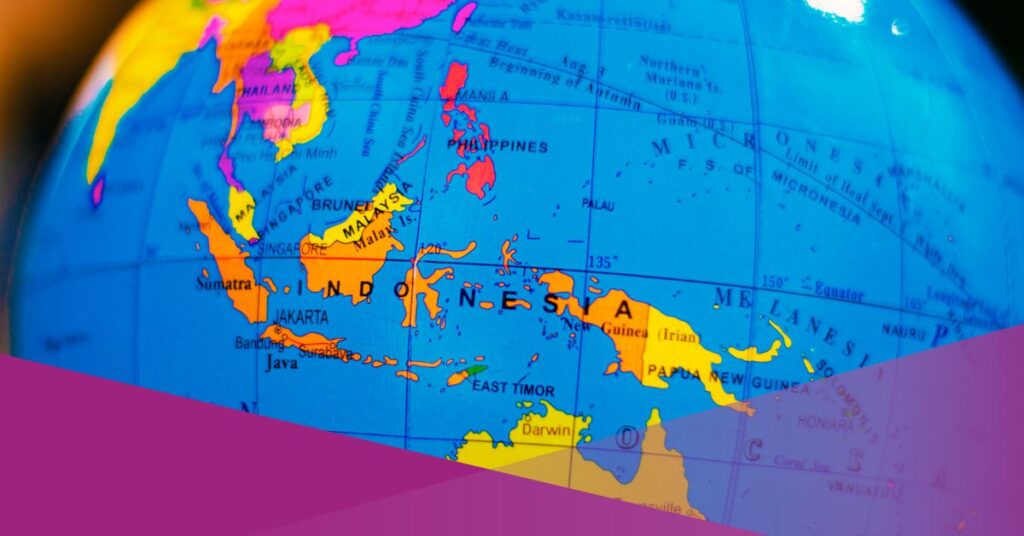
The Meteorology, Climatology, and Geophysics Agency (BMKG) of Indonesia has issued early tsunami warnings for 10 regions in the eastern part of the country, with waves predicted to reach less than 0.5 metres in height.
“According to the analysis by the Meteorology, Climatology, and Geophysics Agency (BMKG), the earthquake has the potential to cause a tsunami in Indonesian regions with a ‘Warning’ status (tsunami height less than 0.5 metres),” said BMKG’s Director of Earthquakes and Tsunamis, Daryono, on Wednesday, as reported by Detiknews.
The epicentre of the earthquake was recorded near the eastern coast of Kamchatka, Russia, at coordinates 52.51°N; 160.26°E and a depth of 18 km.
BMKG reported that tectonic plate subduction caused the Russian earthquake at the Kurile-Kamchatka Trench and confirmed that it was a shallow earthquake with a thrust fault mechanism.
“Based on the epicentre location and hypocentre depth, this earthquake is a shallow earthquake caused by tectonic plate subduction in the Kurile-Kamchatka Trench. The Russian earthquake has a thrust fault mechanism,” stated the BMKG.
By 08:30 WIB, they had recorded seven aftershocks, the strongest reaching a magnitude of 6.9 and the smallest at 5.4.
In response to the seismic activity, the PTWC (Pacific Tsunami Warning Centre) also issued regional tsunami warnings covering several countries, including Russia, Japan, Alaska, the Philippines, Hawaii, and Guam.
BMKG Lists At-Risk Indonesian Regions, Urges Public to Stay Away from the Coast
The BMKG released a complete list of Indonesian regions currently under tsunami warnings, with expected arrival times of tsunami waves between 13:52 WIB and 15:39 WIB.
Most areas under alert are located in Sulawesi, North Maluku, Papua, West Papua, and Southwest Papua.
The list of regions under WARNING status with estimated arrival times includes:
- Talaud Islands, North Sulawesi – 13:52 WIB (15:52 WITA)
- North Halmahera, North Maluku – 14:04 WIB (16:04 WIT)
- Manokwari, West Papua – 14:08 WIB (16:08 WIT)
- Northern Raja Ampat, West Papua – 14:18 WIB (16:18 WIT)
- Biak Numfor, Papua – 14:21 WIB (16:21 WIT)
- Supiori, Papua – 14:21 WIB (16:21 WIT)
- North Sorong, West Papua – 14:24 WIB (16:24 WIT)
- Jayapura, Papua – 14:30 WIB (16:30 WIT)
- Sarmi, Papua – 14:30 WIB (16:30 WIT)
- Gorontalo City, Gorontalo – 15:39 WIB (16:39 WITA)
BMKG Advice
Daryono advised, “Coastal communities in the area are advised to remain calm and stay away from the coast. As of now, there have been no reports of building damage as a result of the earthquake.”
Agus Susilo, a forecaster at the BMKG’s Rendani Manokwari Climate Station, echoed this advice and added that the Manokwari Regency is particularly at risk.
“This earthquake has the potential to trigger tsunami waves in several regions of Indonesia, including Manokwari Regency,” he said, speaking to ANTARA.
He explained that the alert level in Manokwari is currently under the PD-2 Tsunami Warning Category, indicating a potential wave height of less than 0.5 metres.
“This includes fishing activities by fishermen; we suggest they be paused for now,” added Agus.
He further urged the public to monitor updates only from official BMKG sources. “BMKG continues to conduct intensive monitoring through national and international tsunami monitoring systems,” he stated.
Following real-time information via the Info BMKG app, inatews.bmkg.go.id, and BMKG’s verified social media channels is encouraged.
BMKG also advised a temporary suspension of coastal activities, including small vessel operations and recreational beach visits, until further notice.
The agency continues to monitor developments closely and will update the status if the threat level changes.